

The District is currently monitoring Hurricane Laura. According to the National Weather Service Laura is a Category 1 Hurricane. Hurricane Laura, which is located in the southern Gulf of Mexico, should continue on a northwest path toward the Texas / Louisiana Border. Hurricane Laura will continue to intensify possibly making landfall somewhere between Galveston Bay and Sabine Pass on Wednesday night as a Category 3 Hurricane. The main threats from Laura continue to be severe wind damage and life threating storm surge. This morning’s forecast gives portions of Fort Bend County a 40 to 60% chance of experiencing Tropical Storm Force Winds (1-minute average ≥ 39 MPH). The forecasts continues to show Laura moving relatively quickly which means rainfall amounts should be on the lower end. The western portions of the Houston Area, including Fort Bend County, could see between 1 to 2 inches of rainfall with the possibility of isolated areas receiving higher amounts. Although rainfall totals should be on the lower end, short periods of intense rainfall could create some street ponding. Additionally, final wind and rainfall amounts will vary depending on where Laura makes landfall.
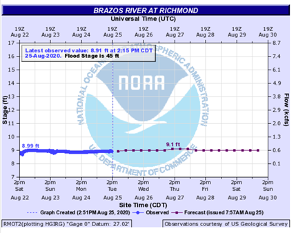
Structural flooding in the District in 2016 and 2017 were the result of rising water from the Brazos River which topped its banks and entered the District. Currently, the National Weather Service is not projecting a significant increase in water levels of the Brazos River at the Richmond gauge due to Hurricane Laura. This will continue to be monitored. You are encouraged to monitor the river projections at https://water.weather.gov/ahps2/hydrograph.php?gage=rmot2&wfo=hgx .
We encourage residents not to park in the street as a precaution in case significant rainfall occurs resulting in street ponding (which would be expected during periods of very heavy rainfall).
We also encourage everyone to stay informed by visiting your favorite local weather source, including the National Weather Service, the National Hurricane Center, and West Gulf River Forecast Center . Additional information may also be available from the Fort Bend office of Emergency Management at http://fbcoem.org.